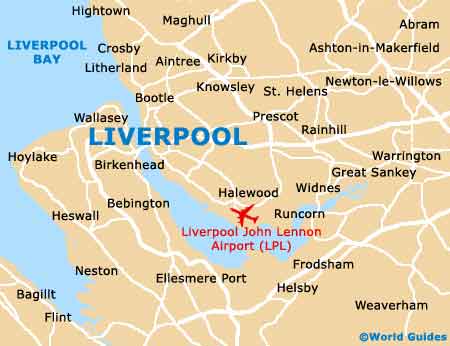
Liverpool John Lennon Airport (LPL)
City Orientation and Maps
(Liverpool, England)
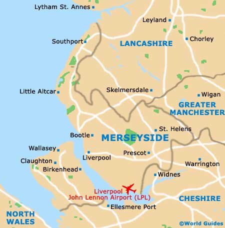
The city of Liverpool resides in the county of Merseyside, on the north-western coast of England. Many important cities and towns are close to Liverpool, including Blackpool to the north, Leeds and Manchester to the east, and Sheffield and Nottingham to the far south-east.
Other locations closer to home include Pemberton to the north, Warrington to the east, and Runcorn to the south-east, close to Liverpool John Lennon Airport (LPL) and the waterfront of the River Mersey estuary.
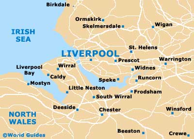
Liverpool John Lennon Airport (LPL) Maps: Important City Districts
Liverpool lies alongside the River Mersey and stretches for around 21 km / 13 miles. Much of city life is centered around the appealing Albert Dock, which has become a major tourist attraction in its own right and can be found on the western side of the city centre. Liverpool's two striking cathedrals are located to the east, close to the train station.
The tourist information centre is open from Monday to Sunday and stands in the Queen Square Centre, with a further outlet situated at the Albert Dock. Of particular interest is the Liverpool Heritage Walk, which takes in many of the city's most historic and important landmarks along a numbered walking trail.
England Map

Merseyside Map
Liverpool Map